Frequently Asked Questions
- past (2017) comments on the draft Cave Springs Management Plan from Niagara Escarpment Commission and Ministry of Northern Development, Mines, Natural Resources and Forestry
- align the Management Plan to the NPCA’s strategic plan and other relevant updated policies and documents (e.g., Niagara Escarpment Plan)
- unsafe and illegal parking along road
- Connecting people to nature through creating equitable access to greenspace for the health and well-being of people is an important goal in NPCA’s 2021 to 2031 strategic plan. This project will improve the visitor experience through increasing parking and enhancing the trail systems, wayfinding, and accessibility at Cave Springs Conservation Area.
- use of unsanctioned trails, damaging sensitive habitats, and posing safety risks due to lack of signage.
- The space cannot be restored to the condition it was in when it was occupied because much of the construction contravenes the Ontario Building Code.
- Leaving the building as is for any amount of time is not an option. The additions have already deteriorated to the point that they are structurally failing and without attention to numerous elements of the original barn, it will also fail.
- Given the present condition of the building and the haphazard nature of the alterations to it over the years, serious consideration should be given to removing it and to constructing a commemorative feature that could also tell some of the story of the site.
How does this project support the NPCA Strategic Plan?
This project supports several strategic goals related to healthy and climate resilient watersheds (1.3, 1.4), sustainable growth (2.3), connecting people to nature (3.1, 3.2, 3.3), partner of choice (4.1, 4.3), organizational excellence (5.4), and financial sustainability (6.3) as well as changes within the recent Conservation Authorities Act.
This project is necessary to address the following issues:
How will the parking area be enhanced?
A parking area that will accommodate 16 vehicles will be created on-site. This will feature various Low Impact Development elements including a raingarden and bioretention area.
The project will include a bioswale that will be sodded, providing infiltration of water so it can percolate through the soil; the grass will be mown. A wild garden will be home to local plant life, which will be sourced and evaluated by NPCA staff to ensure it meets approved standards.
Work on the parking lot is expected to start in July.
Cave Springs Enhancement Project Plan (Design) (1.23 MB) (pdf)
Will any of the new trails be accessible?
The current 400 metre accessible trail at the base of the escarpment will be enhanced for accessibility, safety, ecological considerations. Improvements will include adding granular and restoring the bridge.
A trail system for the entire site will also be established.
Cave Springs Enhancement Project Plan (Design) (1.23 MB) (pdf)
What is the status of the new trails and wayfinding?
There are currently no trail systems at Cave Springs Conservation Area. As such, NPCA staff are creating a new trail system and wayfinding to compliment the existing Bruce Trail that can be accessed through the property.
By implementing new trail systems, the NPCA aims to limit the non-permitted activities on the site, such as the use of motorized vehicles.
Cave Springs Enhancement Project Plan (Design) (1.23 MB) (pdf)
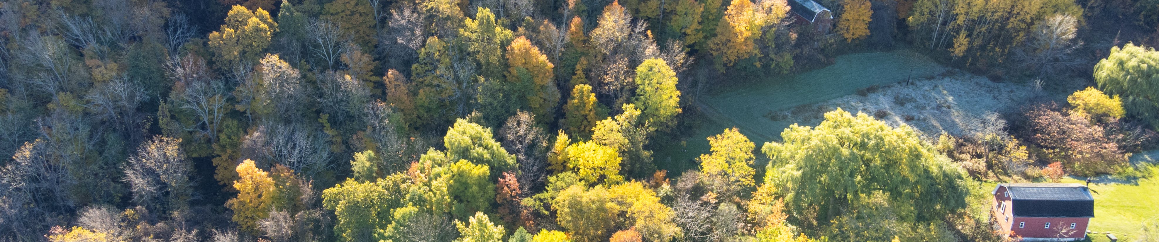
What will happen with the former Margaret Reed House?
The former Margaret Reed House was evaluated and found to be uninhabitable for safety and health concerns. There would be enormous liability concerns with leaving the house in its current state. After discussing this at stakeholder meetings in 2016, it was decided that demolishing the house was the appropriate decision.
As a result of the 2016 consultation process, the plan is to leave the foundation so that Margaret Reed can be recognized in this area, through interpretive on-site signage that will explain the legacy of the property.
As per a June 2022 report by Shoalts Engineering:
How does the updated management plan address issues like excessive noise and damage caused by recreational vehicles?
Activities permitted onsite are passive (hiking, picnicking, birdwatching, etc.) and quiet. The potential for increased noise will be addressed by having appropriate operating hours.
Any construction or demolition activities during this project (use of heavy equipment) will be limited to regular business hours and neighbouring property owners will be made aware of the activities in advance.
Illegal use of ATVs and other recreational vehicles on the site is damaging to the natural heritage features and poses a safety risk to trail users. As such, the use of motorized vehicles will continue to be prohibited and it is anticipated that increased site visitation will reduce the use of these vehicles on the premises.
Will bouldering and rock-climbing be permitted at Cave Springs?
Rock climbing and/or bouldering activities will continue to be prohibited onsite until a detailed geotechnical and ecological assessment is completed to determine the feasibility of these activities.
What types of signage will be installed at Cave Springs?
Interpretive signs will be developed and installed to share information about the site’s natural and cultural heritage (i.e., Niagara Escarpment, Bruce Trail, UNESCO Biosphere designation, recognition of Indigenous culture), recognition of Margaret Reed, and local folklore.
Wayfinding signage will be added to enhance passive recreation and prevent people from impacting sensitive areas.
What Low Impact Development elements will the parking area feature?
There are many Low Impact Development techniques to manage stormwater to achieve the goals of mitigating downstream flooding, avoiding degrading the quality of the stormwater runoff, and promoting infiltration to maintain a site’s water balance.
In the instance of the proposed Cave Springs parking lot, the NPCA collaborated with Schollen & Company Landscape Architects to implement biological Low Impact Development (LID) stormwater management techniques to achieve all these goals while still providing a durable asphalt parking surface that is easily traversed by our guests with mobility issues. (Accessibility is a key feature and requirement for our Fed Dev Grant.)
All the stormwater runoff from the parking lot will be directed through depressed curb areas and flow across a grassed buffer strip and into an enhanced swale. The grassed buffer strip will filter stormwater from the parking lot, and the improved swale’s design will allow stormwater infiltration into the ground. The stormwater not infiltrated will then flow through the enhanced swale and into a rain garden. The rain garden has been carefully designed with native plants (such as Black-Eyed Susan, Purple Coneflower, and Common Ninebark) whose beauty is only surpassed by their ability to absorb, filter, and transpire stormwater runoff. The rain garden has been sized to provide an additional opportunity to infiltrate stormwater runoff into the ground. An overflow will be installed to prevent the facility from flooding during severe storm events. An interpretive sign will be installed to describe the LID features and functions.
The Landscape Architect noted that biological Low Impact Development techniques like the ones that are proposed are very robust and require little in the way of long-term maintenance. Mark Schollen is one of the well-known industry experts working closely with many conservation authorities.
NPCA is currently working on other similar capital initiatives, and we are committed to adapting/demonstrating various LID techniques suitable to specific sites, including interpretive educational signage.